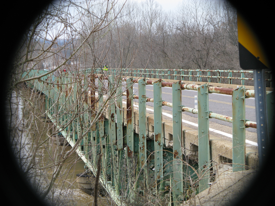

Local environmentalists say there are more sewage spills, property damage and flood cleanups in our future because of construction in floodplains, loss of wetlands and new levees. They say the Valley Park levee was built anywhere from five to eight feet higher than authorized and is the culprit in unprecedented flooding along the Meramec River in late 2015 and 2016 in Kirkwood, Sunset Hills, Fenton and farther downstream.
And now, after hiring a civil engineering firm to take measurements of the levee, they say they have proof that the levee was build beyond authorized specifications. They are sharing the latest findings about the levee with city officials and property owners who sustained flood damage, but say it is too early to speculate on what legal actions might result with the latest findings showing the levee height exceeds authorized levels.
Be sure to listen to a podcast interview from January of this year with Bob Criss at the end of this article. He explains why the continued development and levee construction could make flooding worse in the coming years.