The turf at Field 5 at The World Wide Technology Soccer Park in Fenton was a complete loss. photo by Diana Linsley, Webster-Kirkwood Times. To read the story about clean-up efforts at Fenton’s Soccer Park CLICK HERE.
I’m not an engineer, but I knew I-44 at Missouri Highway 141 was going swimming as soon as the rain gage on my deck in Pacific hit 7 inches. And it kept raining.
By Jo Schaper, Guest Writer
A total of 10 to 13 local inches of rain fell in three days during the weekend after Christmas. We got the call about seven p.m. on Dec. 27 to come and help sandbag in my city. As it turned out, the river stage of 33.42 feet, 12/30/15 on the Hwy. F bridge set a new record, drowning two crests the same day in 1982, (32.71 and 31.66 respectively), the “big one” in 1915 of 30.8 feet and the most recent high of 29.60 feet on 3/22/2008. Two hundred seventy buildings, 250 of them residences were flooded, including quite a number which had been elevated in 2008.
I’m a newcomer to Pacific floods, having only been in town since 1993. My gage for the lower Meramec River is the intersection of I-44 and Missouri Hwy. 141 at Valley Park. My maternal grandparents lived at the top of the south 141 hill. I personally have seen the floods of 1958, 1969, 1973, 1982, 1995 (1993 was pretty much a non-issue in Valley Park) 2008 and now 2015.
Historic river levels at Valley Park now stand at 44.11 feet on 12/31/2015; 39.73 feet on 12/06/1982; 37.85 feet on 08/22/1915 and 37.83 feet on 03/22/2008. A friend of ours from Wildwood currently lives in Australia and has a friend he visits in Singapore. He went down to breakfast on New Year’s Day to see the now famous photo showing the swollen Meramec at Valley Park with only the I-44 overpass bridging the flood. “It was a amazing,” he told us. “I looked at the paper and blurted out, “I know where that’s at!”
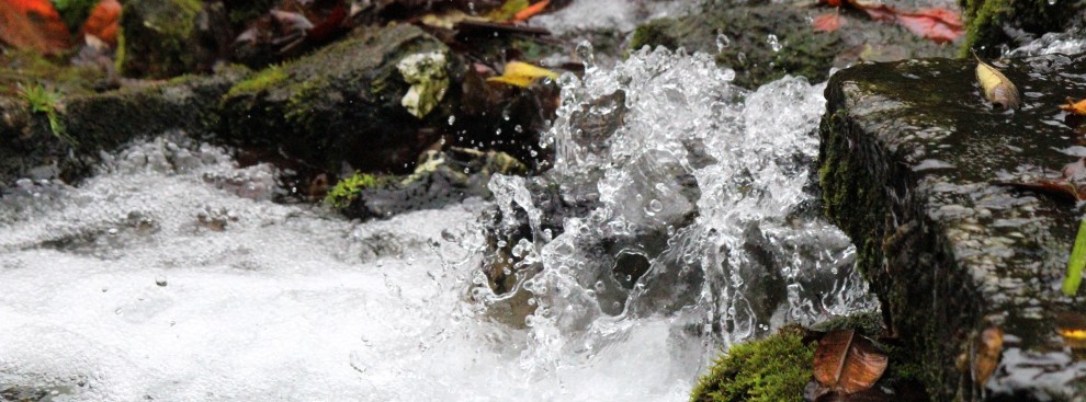
This epic monsoon covered the entire Ozarks. The news leading up to the lower Meramec moving crest showed both Bagnell and Table Rock Dams with all spillways pouring water, though not at full capacity, to minimized downstream damage. Upstream dams, even flood control dams, can buffer and hold back small to moderate rain events (depending on the state of their lake pool when the rain starts). This slug of water moved across the landscape like a porcupine through a rattlesnake – a painful thrashing from the sky.
News reports showed Lake of the Ozarks with broken away docks, homes flooded and the lake rising for two and half days before water releases at 105,000 cubic feet per second brought it back into equilibrium. At Table Rock, Branson Landing and many buildings along Lake Taneycomo flooded for the second time in 2015, as the floodgates opened and 67,000 cfs poured down the slick spillways.
There simply was too much water for the region, The Valley Park levee, at 44.3 feet, strained as the water rose to 2 tenths of a foot (about 3 inches) below the top of the sandbagged levee. It held and the town stayed mostly dry. The rest the valley suffered, as the flood pushed higher. For 12 hours or so, only Manchester and Telegraph roads connected St. Louis city and county to the hinterlands, with I-55, I-44, Missouri Hwy. 30 and numerous other major roadways inundated.
There is a reason they call it “Valley” Park. From Martiz to Forest 44 and the south hill of 141 to where 141 rises going north towards the village of Twin Oaks, a bowl with a river running through it.
In 1958, Valley Park was a country town, residential along Marshall and St. Louis streets, with some light industry, but largely a recreation destination, with racetracks, a number of parks along the river, dance halls, riding stables, boating, river cabins, and a few commuters. A gas station or two in Peerless Park, at the foot of 141 south hill.
U.S .Route 66 was four lane and 141 two lane. Both lay pretty much at grade…a little elevation but not much. Commercial development stayed at grade. Going north, 141 rose to get on the old steel truss bridge and came down into town. Much of the land south of the 141 bridge was lower Buder Park, and except for roads paved with grass and rock.
During the 1960s, St. Louis expanded west. I-44 was built as the highest structure in the valley, with 141 run beneath. In 1969 and 1973, Hwy. 141 went underwater, but not the interstate.
Commercial development came to the area, and demanded to be put above flood level.
Practically everything south of I-44 was raised, one property at a time. Fast food, then restaurants and Drury Inn — even the riding enterprises built up ground. The haunted house was raised just short of the level of I-44. Hillsboro-Valley Park Road was re-routed and elevated.
Development started on the north side of I-44. A new four to five lane 141 was elevated, and changed in configuration inside Valley Park near Vance Road. The drive-in folded. A car lot, gas station and landscape supply and other industrial supply stores went in on the north side of the road. More things to stay clear of the water. The ziggurat of a trash landfill took up acres. Most of the acres in the valley were paved.
When 1982 came, with the largest measured flood since 1915, I-44 was, by then lower than much the filled-in valley. The river had to go somewhere. It briefly ran over a lane and a half during another winter flood in 1982, where Antire Creek flows along the base of Forest 44 hill. More stuff was built in the valley, including the completion of the VP levee and riverside trail park, which passed the 2008 flood with flying colors. People in the region relaxed, thinking floods in town were a thing of the past.
Until a foot of rain in three days comes gushing from the sky, and upstream.
Initial reports at Pacific in 2015 predicted a crest lower than 1982. After water crossed the Burlington-Santa Fe tracks, the townspeople revised their estimates, and two weeks later, the National Weather Service and Army Corps of Engineers agreed with them. Why? More development, more pavement, less land to act as a sponge, and the water slowed and rose because of levees downstream.
Anyone can look at a historic topographic map of the region, and find the natural course and flood plain of the Meramec. People refuse to believe that you impinge on that floodplain at your peril. As others have noted: South St. Louis County was saved from a LOT of property damage by the greenways, river parks, and such, combined with deliberately flooded areas and judicious levees along the most intense historic development. At last report, the cries of “it will never happen again” are starting to rise with the new walls on the south side of my town, people trapped in old thinking as tightly as some were trapped in their houses.
Pacific has some hard choices in the days ahead. Already the rebuilders and the “never a-ginners” are choosing up sides. MoDoT already has plans to redo the I-44/Hwy. 141 intersection in Valley Park, supposedly for traffic congestion reasons.
The Valley Park saga continues.

This is a great perspective on flooding in the Meramec River Valley by Jo Schaper, a former editor and writer of the River Hills Traveler. She personally has seen the floods of 1958, 1969, 1973, 1982, 1995 (1993 was pretty much a non-issue in Valley Park) 2008 and now 2015. So much fro the 100-year floods. We’ve seen seven big ones in seven decades. As the professors who are experts now say: Everything you knew about 100-year floods has been reduced to nonsense.
LikeLike
Thanks for this great article, Don. Climatologists predict “warmer and wetter” for our region and ignoring this only encourages more and worse river mismanagement. Unless people start demanding responsibility from decision makers, the beautiful Meramec will end up just an ugly big ditch culverted and channeled like River Des Peres.
LikeLike