
by Don Corrigan

Environmental Echo’s Don Corrigan calls a halt to his bike ride on the GRG Trail near the border of Kirkwood and Valley Park as the Meramec River floods over the trail.
Storms on May 8 closed hiking and biking trails and some roads along the Meramec River. Spring flash floods in the St. Louis area have had rivers rising, but not yet to the historic levels of 2008 or 2017.
More rains predicted for the week of May 12, and for later this month, could raise rivers closer to those record levels. The National Weather Service noted flooding at the time of the May 8 storms from Pacific to Valley Park.
Flooding was visible at Yarnell Road at Soccer Park and farther south to Fenton. In Pacific, water rescues have sometimes been necessary at Big Bend and Meramec Farm Valley roads.
Cars stall out in flash floods and drivers must be rescued by first responders. Drivers are constantly warned not to drive on roads that disappear into flood waters.
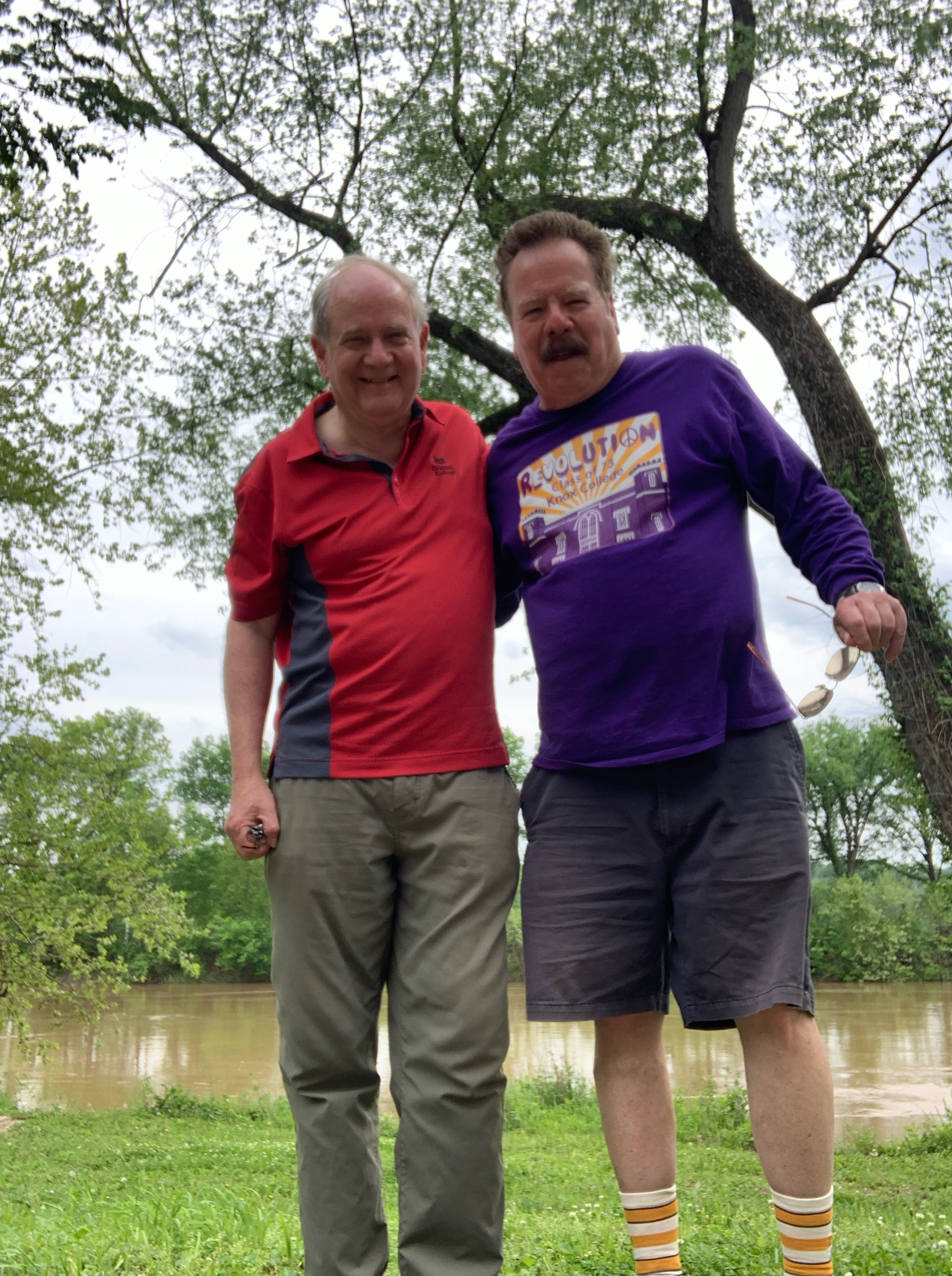
Mark Sableman (in red) and Don Corrigan (in purple) celebrate their good judgment in not riding into the flooding Meramec River. Storms on May 8 closed trails and roads.
Trails that occasionally disappear into flood waters are those along the Meramec, Missouri and Mississippi rivers. Bikers venture into the waters at their own risk.
The loop trail at Cliff Cave Park near the Mississippi River can close for weeks in spring and summer after periods of intense rain. However, trails higher up in the park will remain open.
The trails in Valley Park, Kirkwood and Fenton also can close for weeks in spring and summer after flooding rains. However, one half-loop trail that never closes when the Meramec River floods is the one atop the elevated Valley Park Levee.
