
by Don Corrigan
The public is invited for an open house on Aug. 19, from 4 to 6 p.m., where a final design for the Meramec Greenway realignment project in Unger Park will be showcased.
The event will take place at the Pavilion in Unger Park and will be the last opportunity for area residents to give feedback on the development of this portion of the Meramec Greenway.
The open house comes in the wake of some controversy over a proposal to link St. Louis County’s Unger Park with a bridge over the Meramec River to Kirkwood’s Greentree Park. That proposal has encountered opposition, but officials say the bridge plan is “preliminary” at best.
Great Rivers Greenway (GRG) has reportedly been conducting a feasibility study for a pedestrian and bicycle bridge that would connect the two parks. It also would tie together a trail network that runs along either side of the Meramec River.
“Rivers are a barrier, obviously, so this is an opportunity for people to connect across a major waterway,” said Great Rivers Greenway’s Emma Klues.
“In our studies and our surveys, people tell us they want us to work on these kinds of opportunities,” said Klues, vice president of communications and outreach for GRG. “They want these connections.”
The possibility of such a Meramec River Bridge was first evaluated during a flood study of Unger Park, which itself is now being redeveloped by GRG in partnership with St. Louis County.
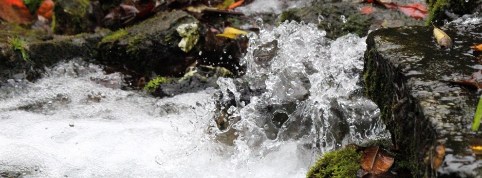
Environmentalists opposing the bridge plan note that the increasingly violent floods in the area are becoming very problematic.
Higher flood waters on the Meramec, and torrents that rip away the shore land, make a new bridge dicey – and costly, according to these area residents. There is no shortage of evidence of river bank erosion.
The proposal to be shown on Aug. 19 at the open house apparently does not contain a new bridge across the Meramec River.
It does include a reroute of the trail coming through Unger Park to avoid the areas that flood frequently along the Meramec. It also includes new amenities and a lookout point along the river at a higher elevation to avoid flooding issues.
